LASSEN VOLCANIC NATIONAL PARK
California
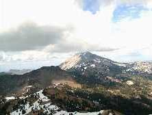
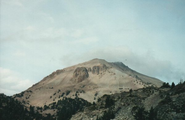 Lassen Peak. |
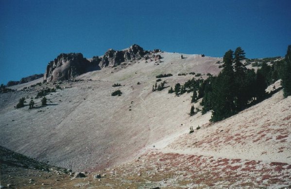 Lassen Peak from the trailhead to the summit. |
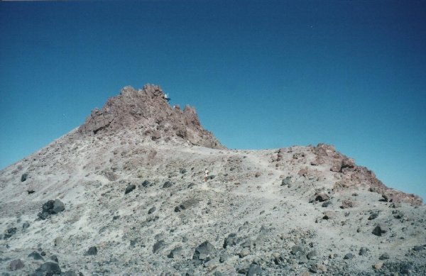 The highest point atop Lassen Peak. |
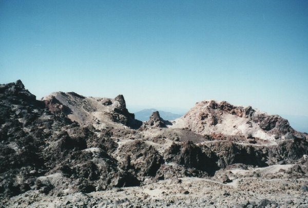 Looking over the crater atop Lassen Peak. |
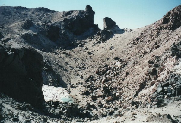 Looking down into the crater. |
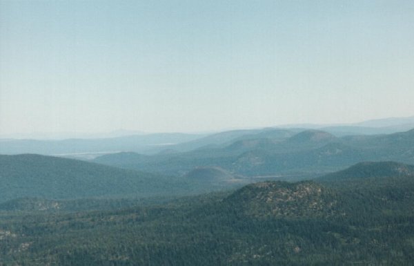 Looking northwest from atop Lassen Peak. Cinder Cone is in the distance. |
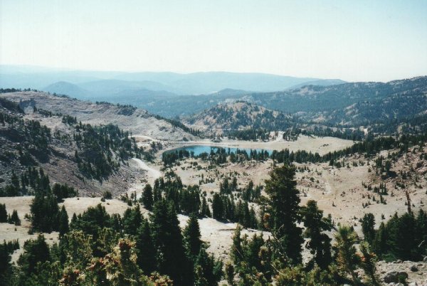 Looking south from atop Lassen Peak, toward Lake Helen. The mountains at left and right are remnants of Mount Tehama. |
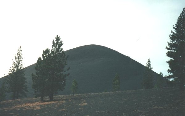 Cinder Cone. |
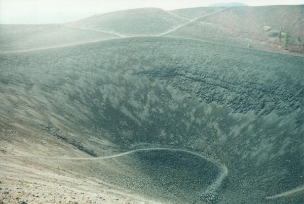
 Looking across the top of Cinder Cone. |
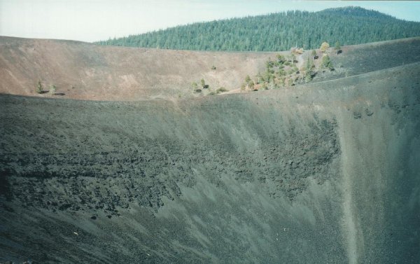
 Looking down into the crater of Cinder Cone. |
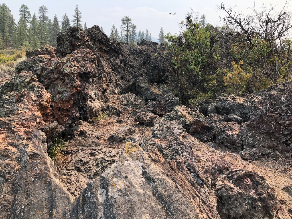
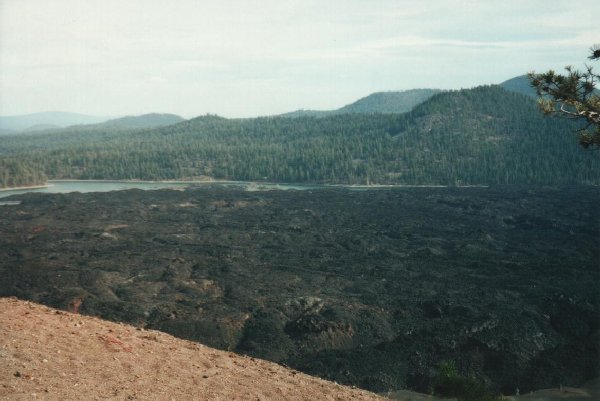 Fantastic Lava Beds, at the foot of Cinder Cone. |
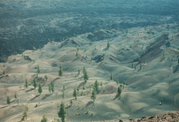 Painted Dunes, also at the foot of Cinder Cone. |
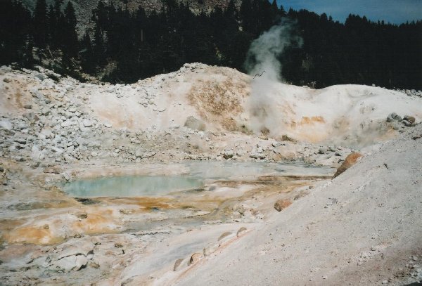
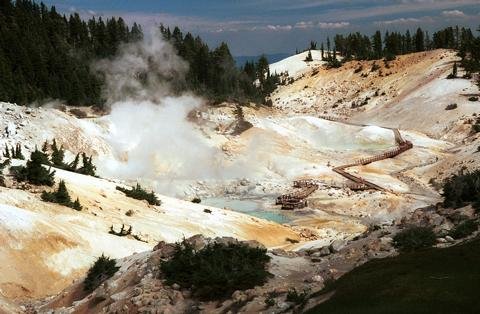 Bumpass Hell. |
 Steaming stream through Bumpass Hell. |
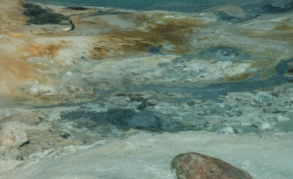
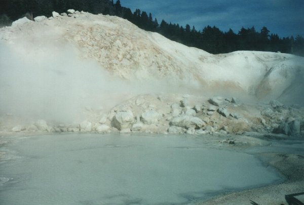 A boiling pool. |
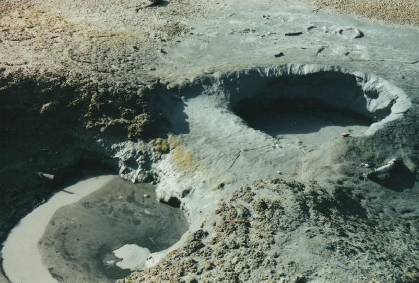 Mud Pots. |
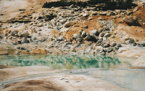 Boiling pool. |
 Boiling pool. |
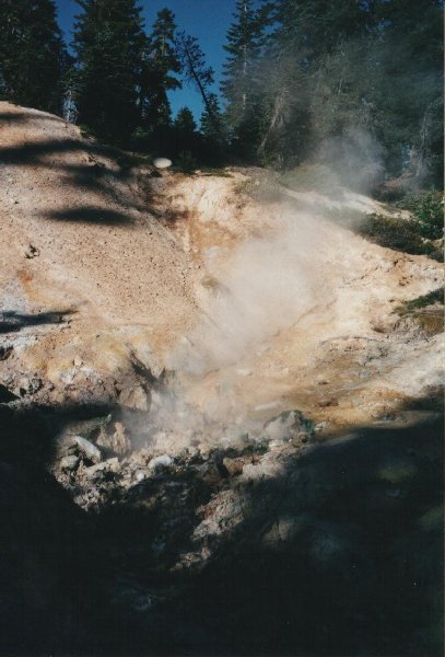 Fumarole at Sulphur Works. |
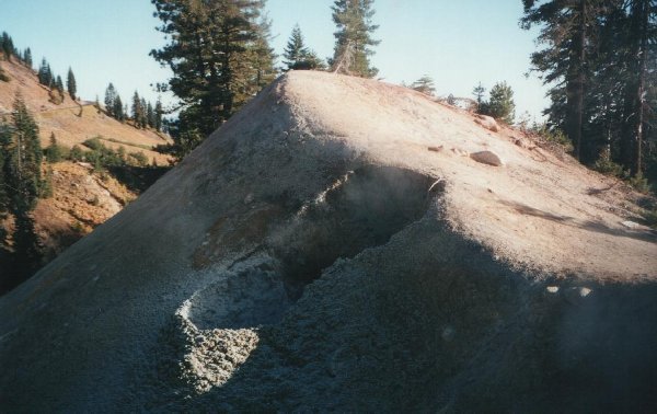 Another fumarole at Sulphur Works. |
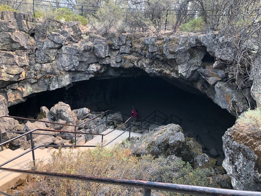 Entrance to Subway Cave (Devil's Doorway). |
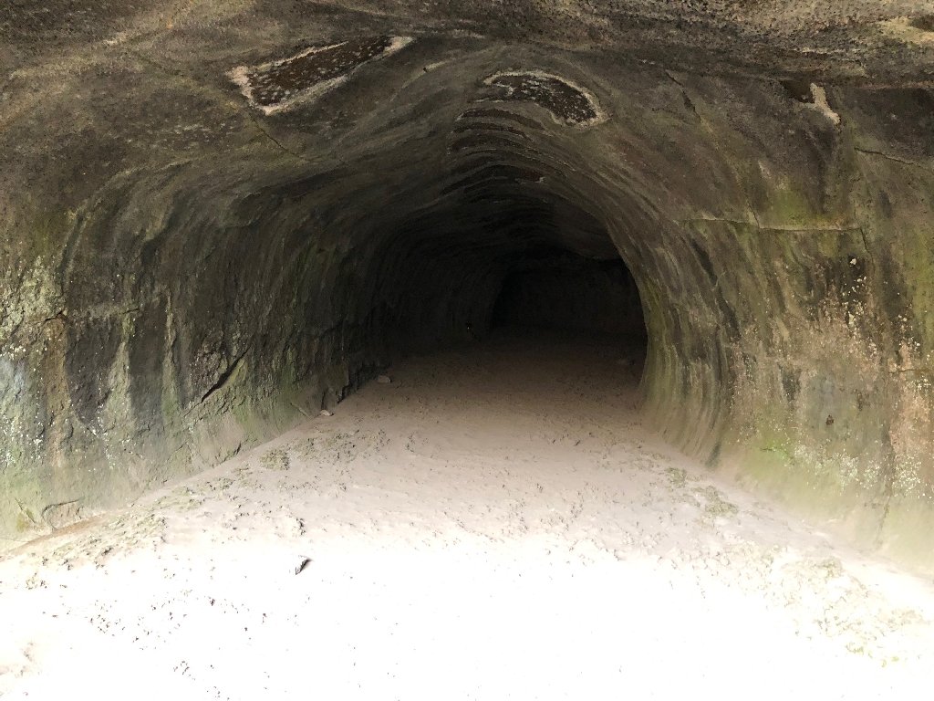 Looking inside. |
 Wind Tunnel. |
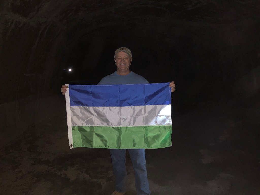 Molossia's Flag inside the cave. |
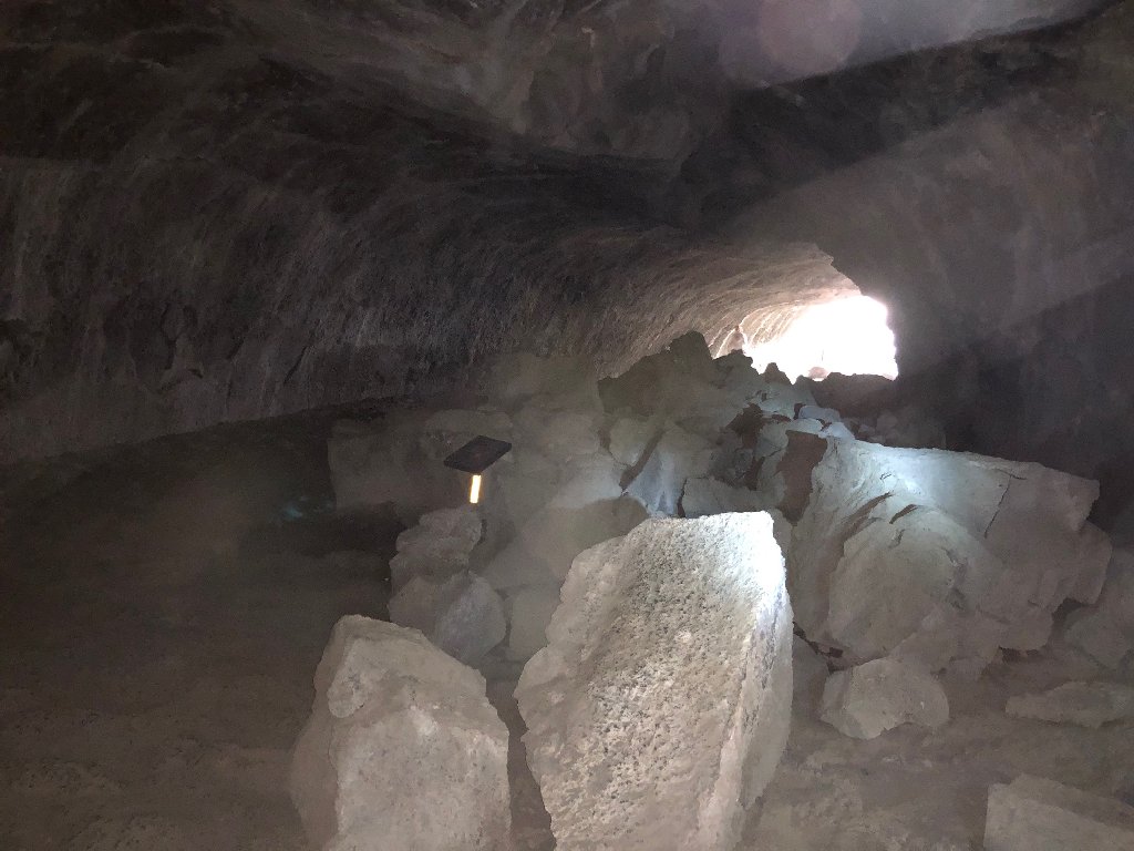 Collapsed ceiling and the way out. |
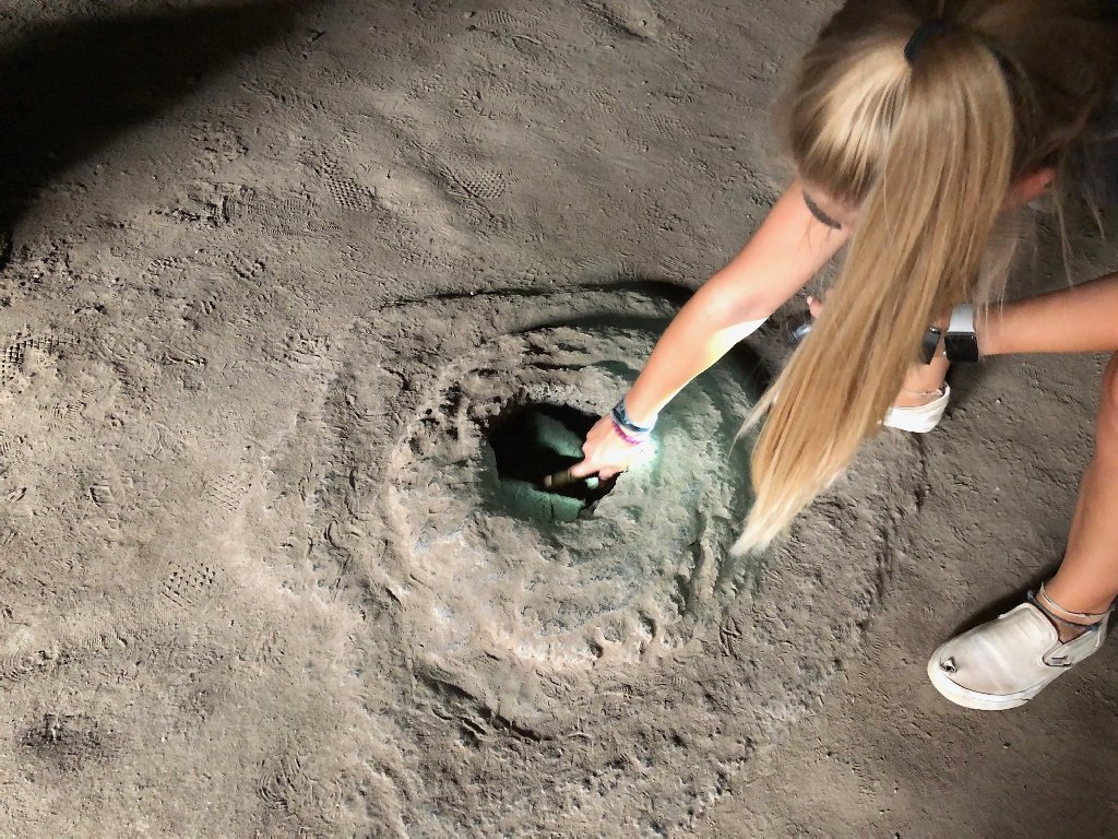 Lava bubble inside the cave. |
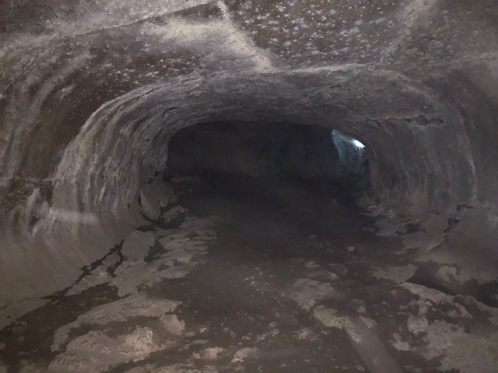
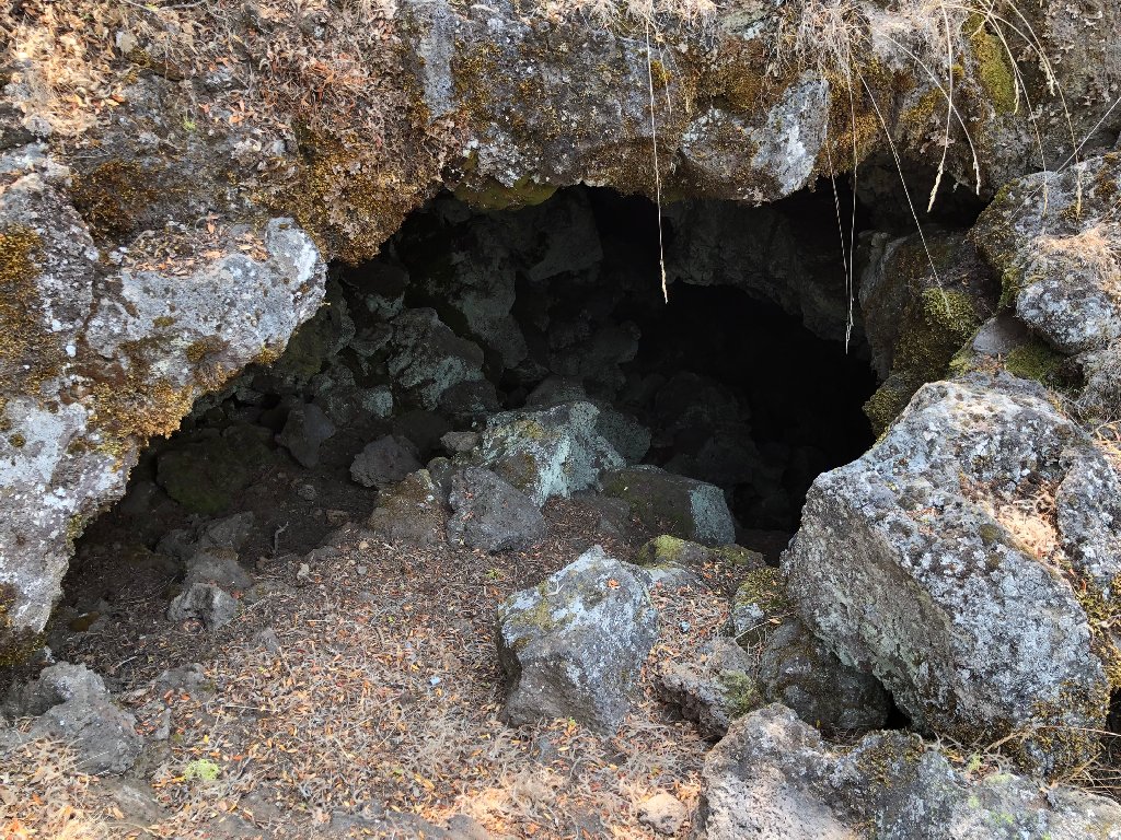
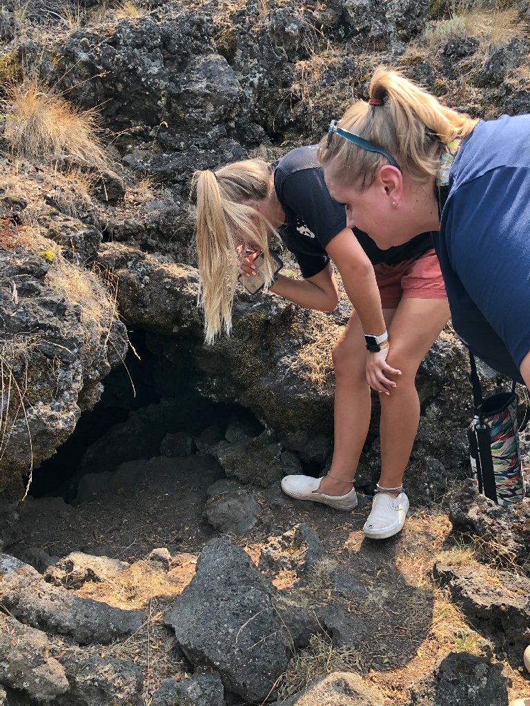
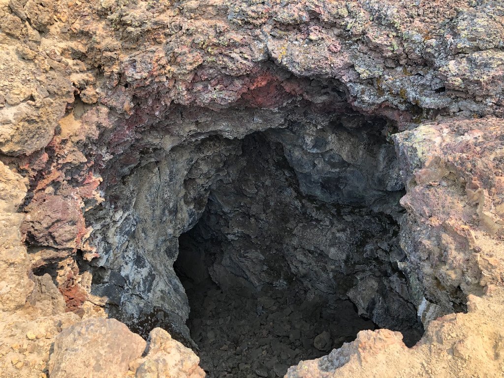
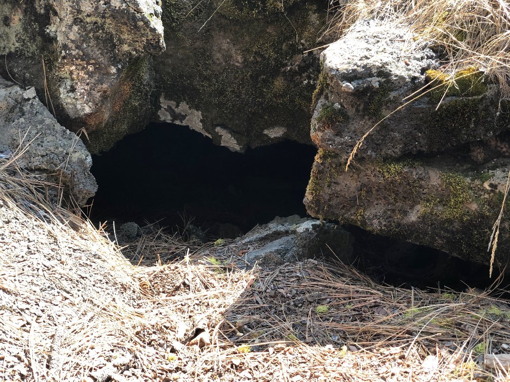 Mysterious lava tube entrance. |
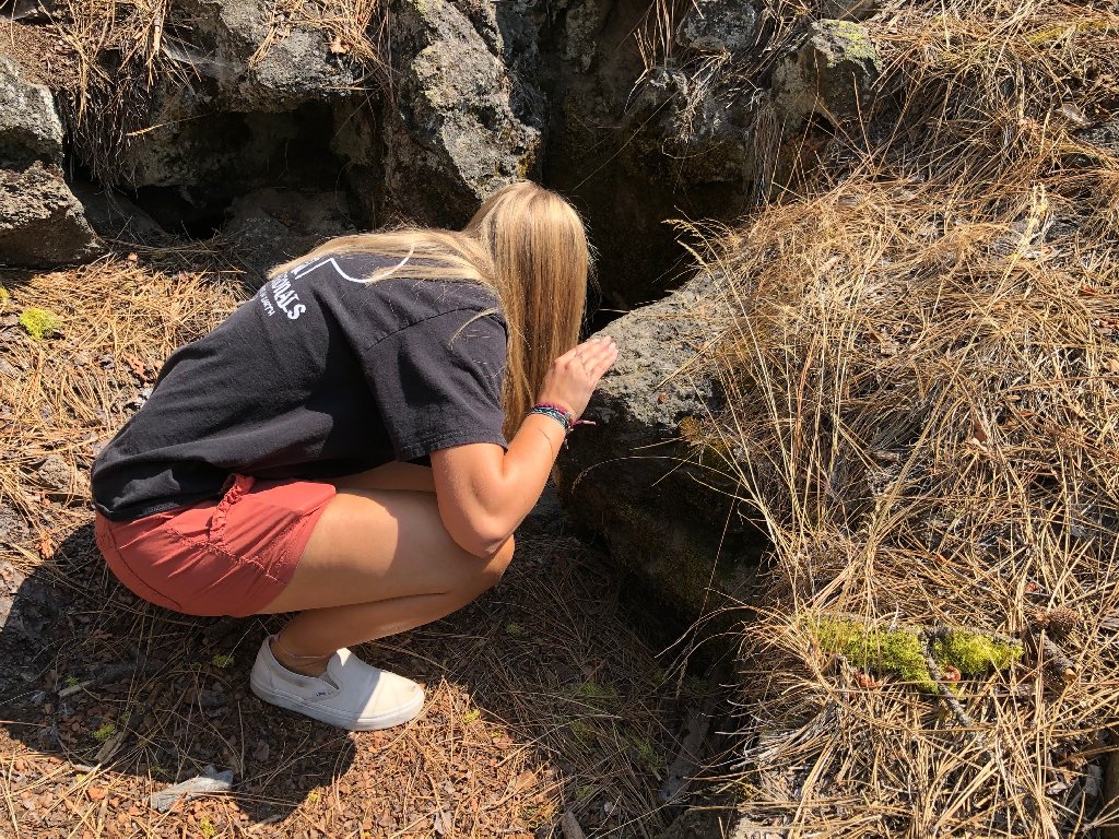 Peering into a lava tube. |
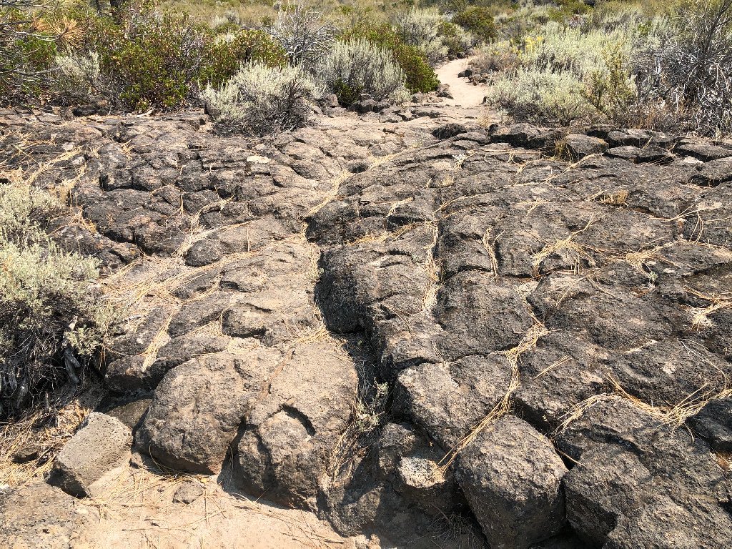 Rock formations caused by rapidly cooling lava. |
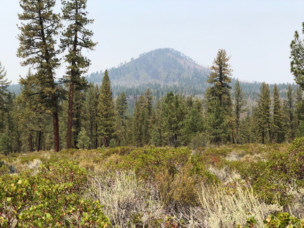 Sugarloaf Peak, old volcano. |
 Lava Tube. |
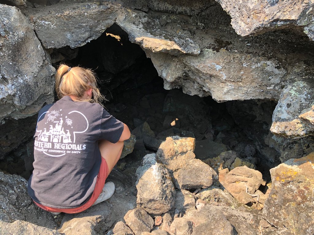
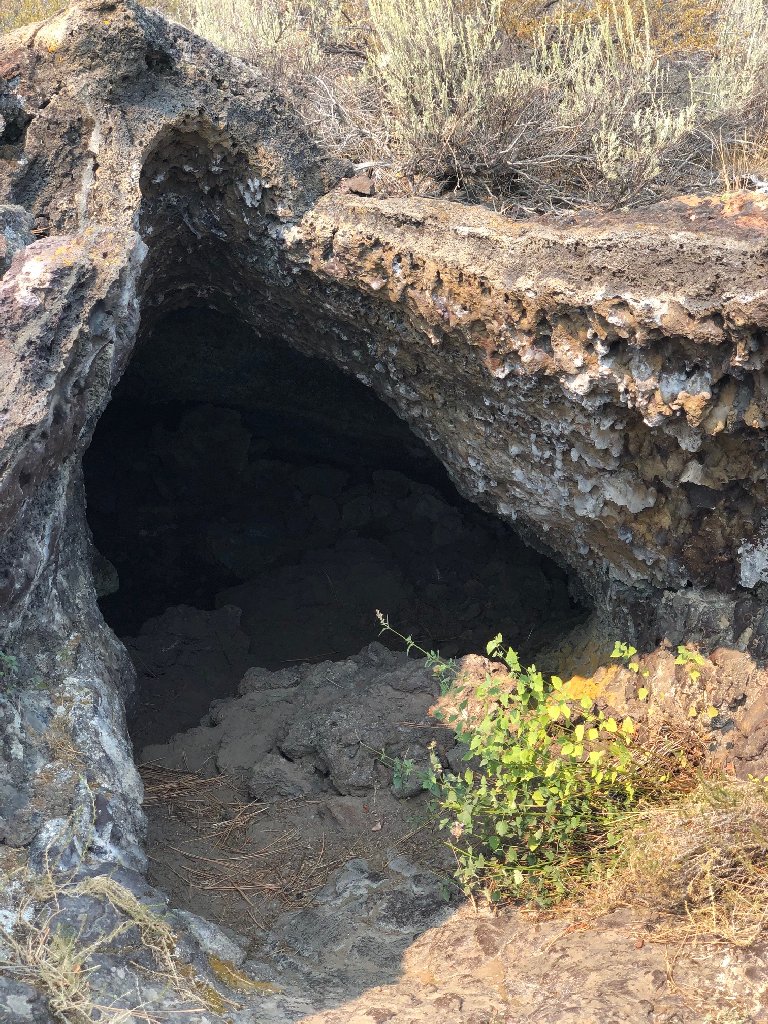
 Inspecting another lava tube. |
 Another lava tube. |
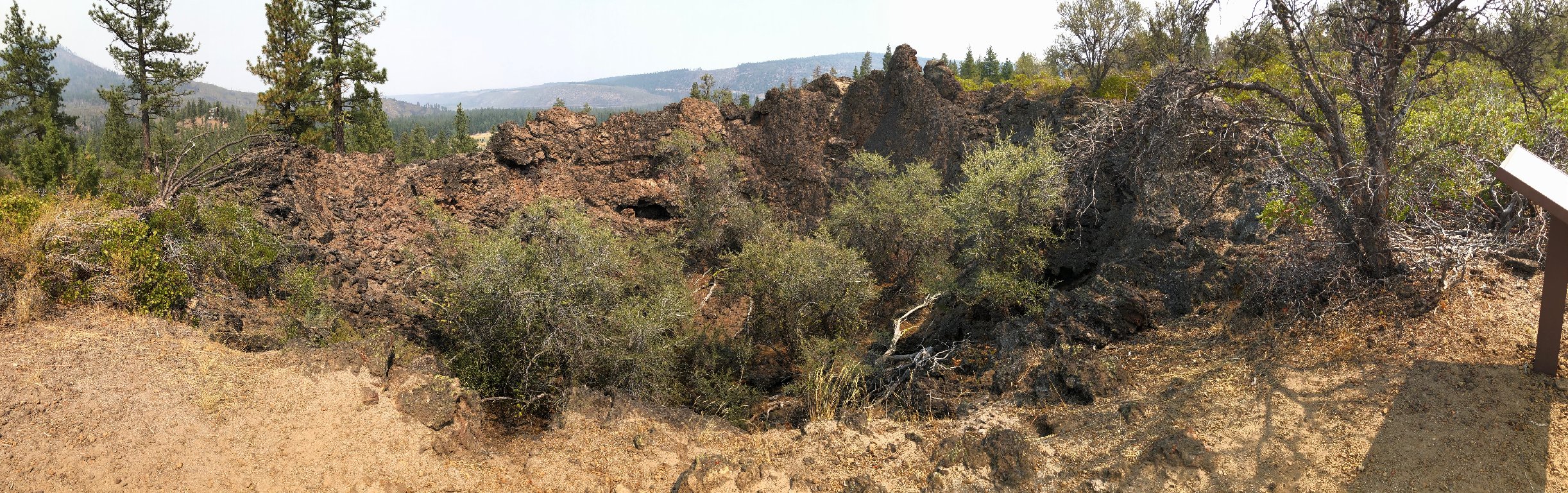
 Beaut Cone, Spatter Cone. |
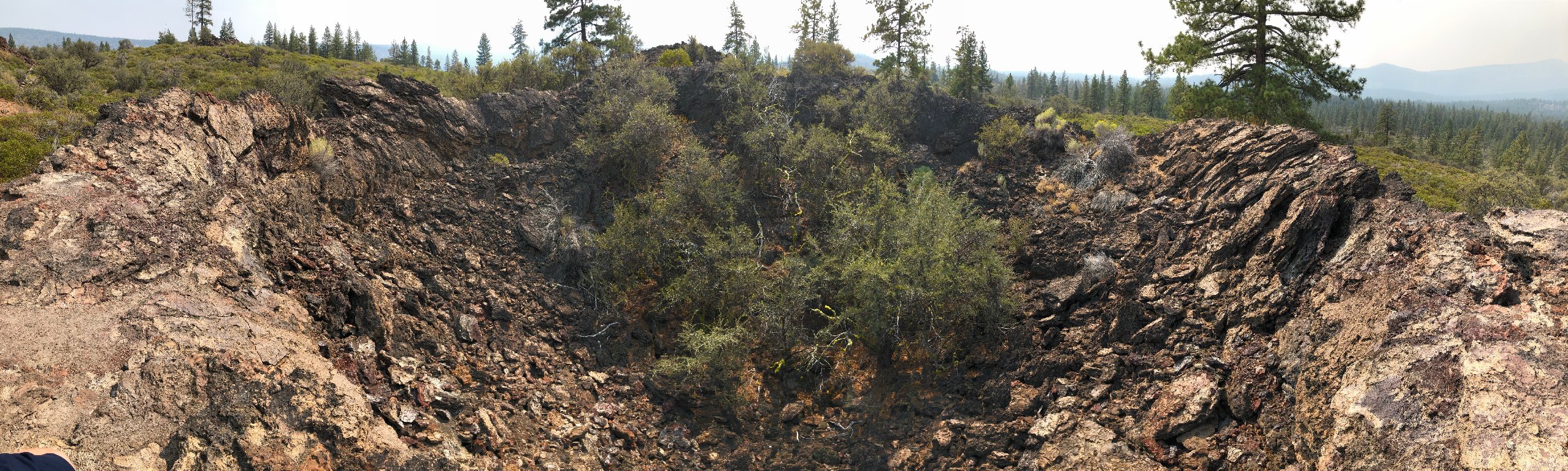
 Steep Cone, the largest crater. |
 Deep volcanic vent. |
 Lava tube, with lavacicles and sulfur stains. |
 Spatter Tube crater. |